Case Studies
.png)
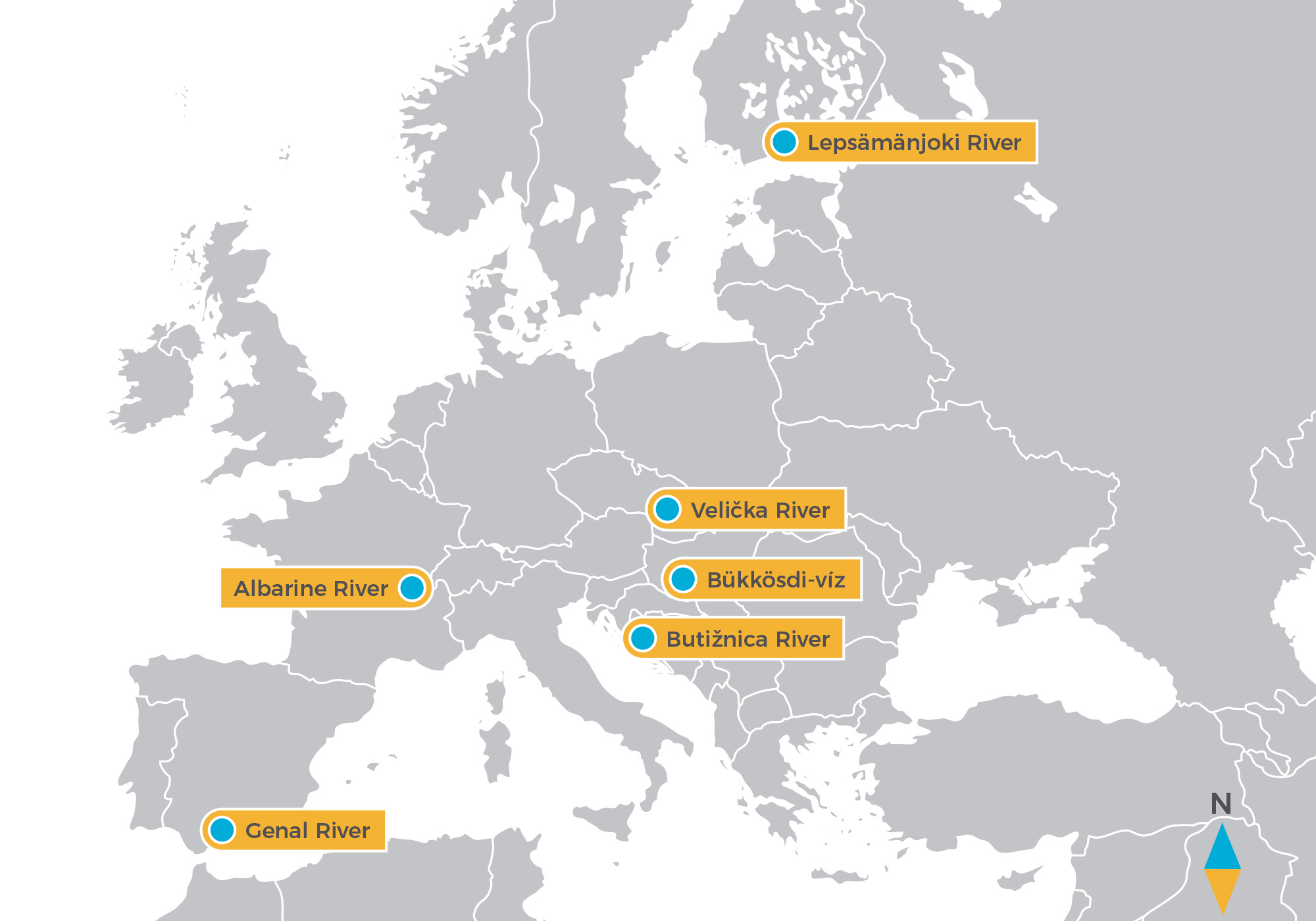
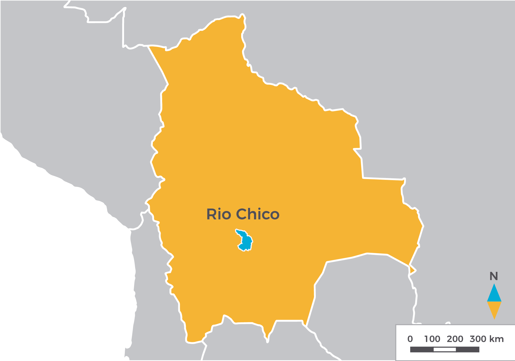
DRYvER case study sites are located in highly contrasted EU and CELAC (Community of Latin American and Caribbean States) biogeographic and climatic regions. Six case studies in Europe and three in CELAC were chosen to span the expected natural variability of drying processes. The focal DRNs have been selected to encompass six climate zones (semiarid, Mediterranean, continental, tropical, temperate and boreal) and nine biogeographical ecoregions (Mediterranean, Alpine, Continental, Balkanic, Pannonian and Boreal, and Pacific Lowlands, Central High Andes and Caatinga for CELAC).
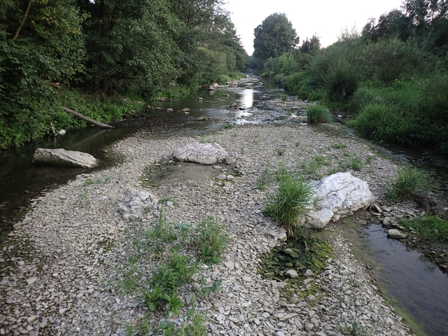
Croatia
.png)
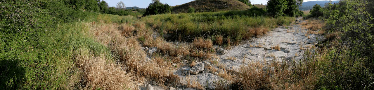
- Butižnica River
- Sub-catchment of Krka River.
- Drainage area approximately 225 km2
- Dinaric Mountains, Mediterranean climate, Balkanic ecoregion
- Seasonal drying occurs mostly in summer (from June to November). Very little is known from the catchment. Irrigation, electricity, human consumption (water, fish) and recreation are the most prominent ecosystem services in the catchment area.


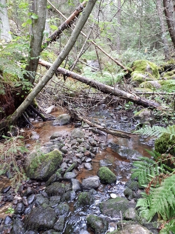
Czech Republic
.png)
- Velička River
- Sub-catchment of Morava River
- Drainage area approximately 172 km2
- White Carpathian Mountains, Continental humid climate, Continental biogeographical region.
- The small tributaries are more prominent to dry up, while the main stem dries once in ~10 years. The lowland parts of the river are regulated, and water abstraction and pollution (diffuse pollution sources from agriculture and point sources from water treatment plants) is also present. Irrigation and fishing are the most relevant ecosystem services in the area.
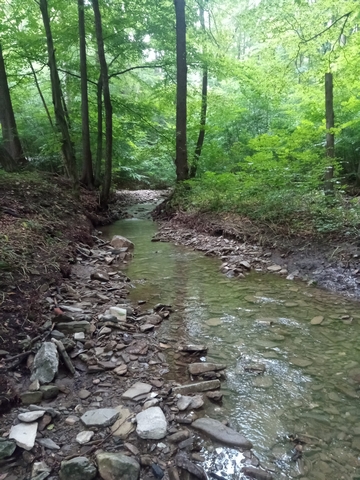

Finland
.png)
- River Lepsämänjoki
- Sub-catchment of River Vantaanjoki
- Drainage area approximately 208 km2
- Southern Finland, Cold temperate climate, Boreal ecoregion
- Some headwater streams dry up during late summer, but records of drying area are not yet available. Anthropogenic alterations include weirs, hydromorphological alterations and diffuse pollution mainly from agriculture. Recreation, fishing, cultural landscape and flood protection are examples of ecosystem services in the area.

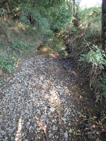
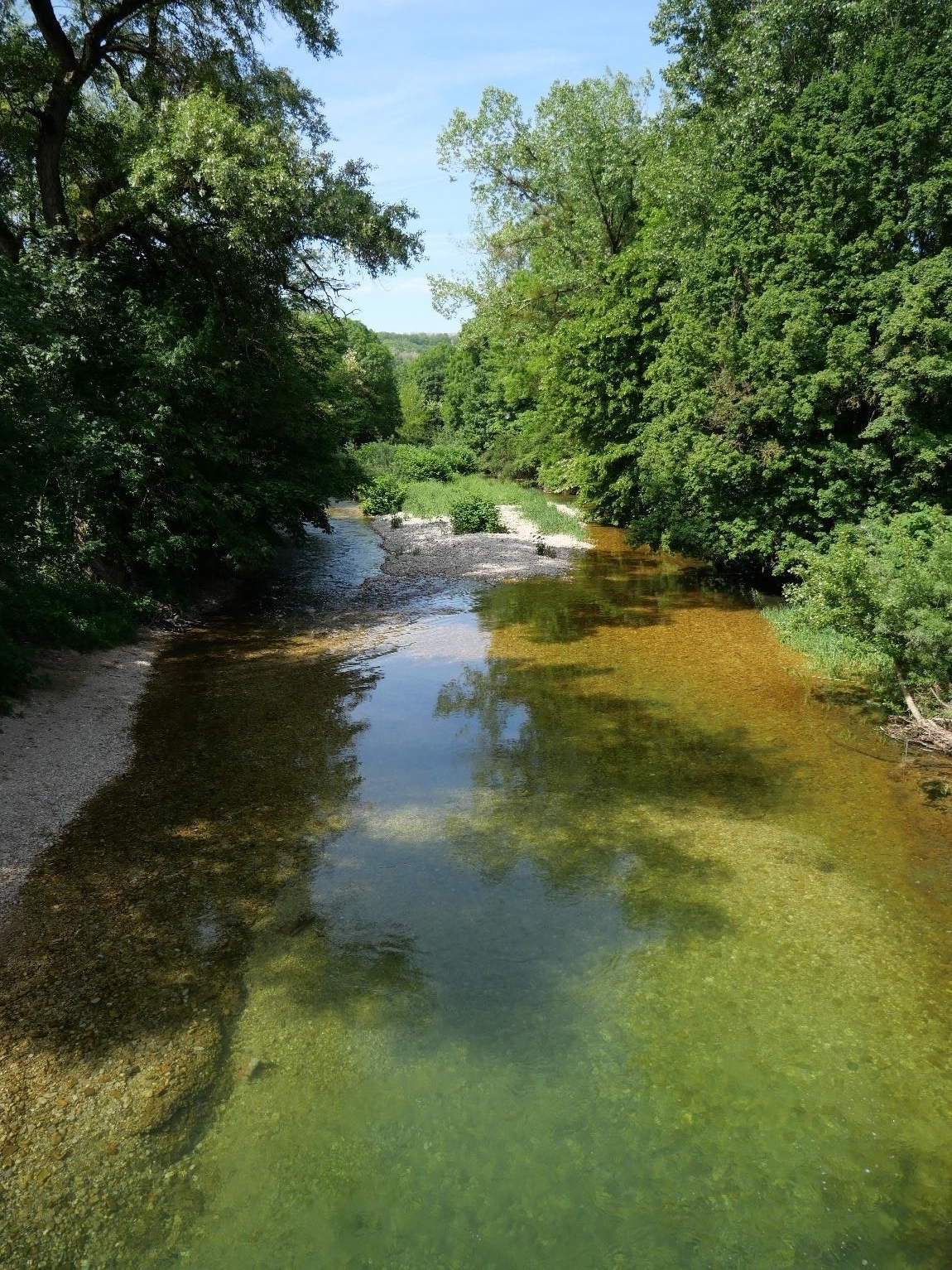
France
.png)
- Albarine River
- Sub-catchment of Ain river
- Drainage area approximately 354 km2
- Jura Mountains, Pre-alpine climate, Continental ecoregion
- More than 80 km (~25 % of the catchment) is intermittent network. The river contains some protected invertebrate and fish (salmonids) species. Anthropogenic alterations include some weirs and point-source sewage. Irrigation, human consomption, fish, and recreation are the most relevant ecosystem services in the area.

Hungary
.png)
- Bükkösdi-víz
- Sub-catchment of Fekete-víz
- Drainage area approximately 185 km2
- Mecsek Mountains, Continental climate, Pannonian ecoregion
- Approximately 40-50 % of the stream network is intermittent, mostly the smaller tributaries are prone to drying. Drying occurs mostly in late summer and early autumn. Pollution sources are mostly the municipalities and agriculture. The potential ecosystem services can be agriculture, livestock breeding, irrigation, forestry, recreation, and fishing.


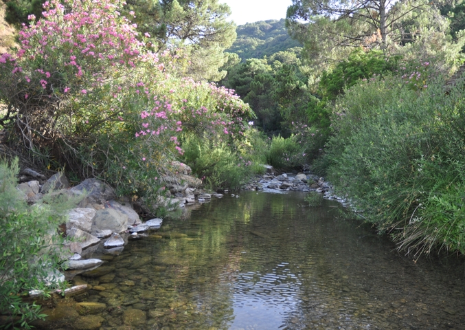
Spain
.png)
- Genal River
- Sub-catchment of Guadiaro River
- Drainage area approximately 343 km2
- Penibaetic Mountains, Mediterranean climate, Mediterranean ecoregion
- Lies in area of intermittent streams but no existing records of flow intermittence measures/observations are available yet. Anthropogenic alterations are riverbank modifications for bathing in the headwaters, and water abstractions for agriculture, diffuse pollution from agriculture, and invasive species in the lowlands. Relevant ecosystem services are bathing, hiking, surface water for drinking, fishing in former times (mainly eels; populations have dropped), cultivated crops, aesthetic values, and rural tourism.

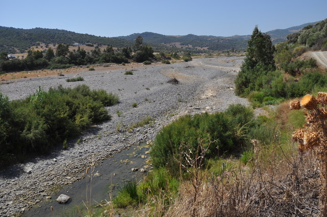
Bolivia
- Rio Chico
- Sub-catchment of the Soico basin, which is part of the Rio Grande
- Drainage area approximately 102 km2
- Sucre region, Semi-arid climate, Central High Andes ecoregion
- The Rio Chico network is located in the Sucre region, a dry area prone to desertification where political conflicts emerge due to water scarcity. In general, the area is in natural conditions. Several native and/or red-listed species (fish, amphibians, birds) can be found in the area. The most important ecosystem services are water use for irrigations, recreation, and for pisciculture.
Brazil

- Bom Nome
- Sub-catchment of Benguê network which is part of Jaguaribe River basin
- Drainage area approximately 254 km2
- Northeast Caatinga region, Semi-arid climate, Caatinga ecoregion
- Located in the Northeast Semiarid region, this is the driest region in Brazil. Intermittence is observed all over the basins for at least 9-10 months per year. The main ecosystem services are water supply, carbon storage, and biodiversity refuge.
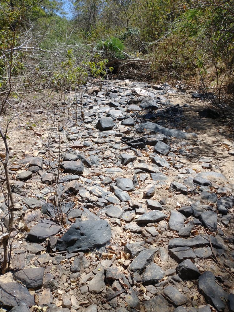
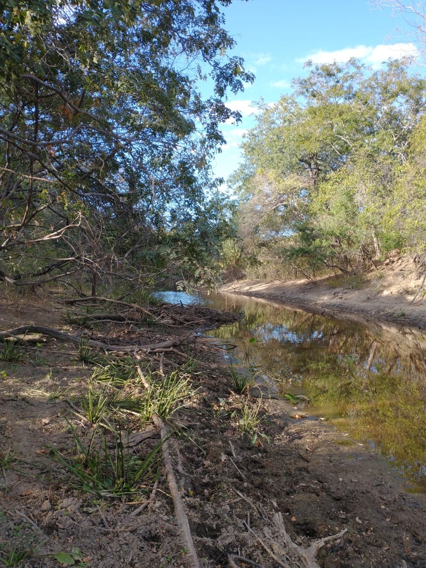

Ecuador
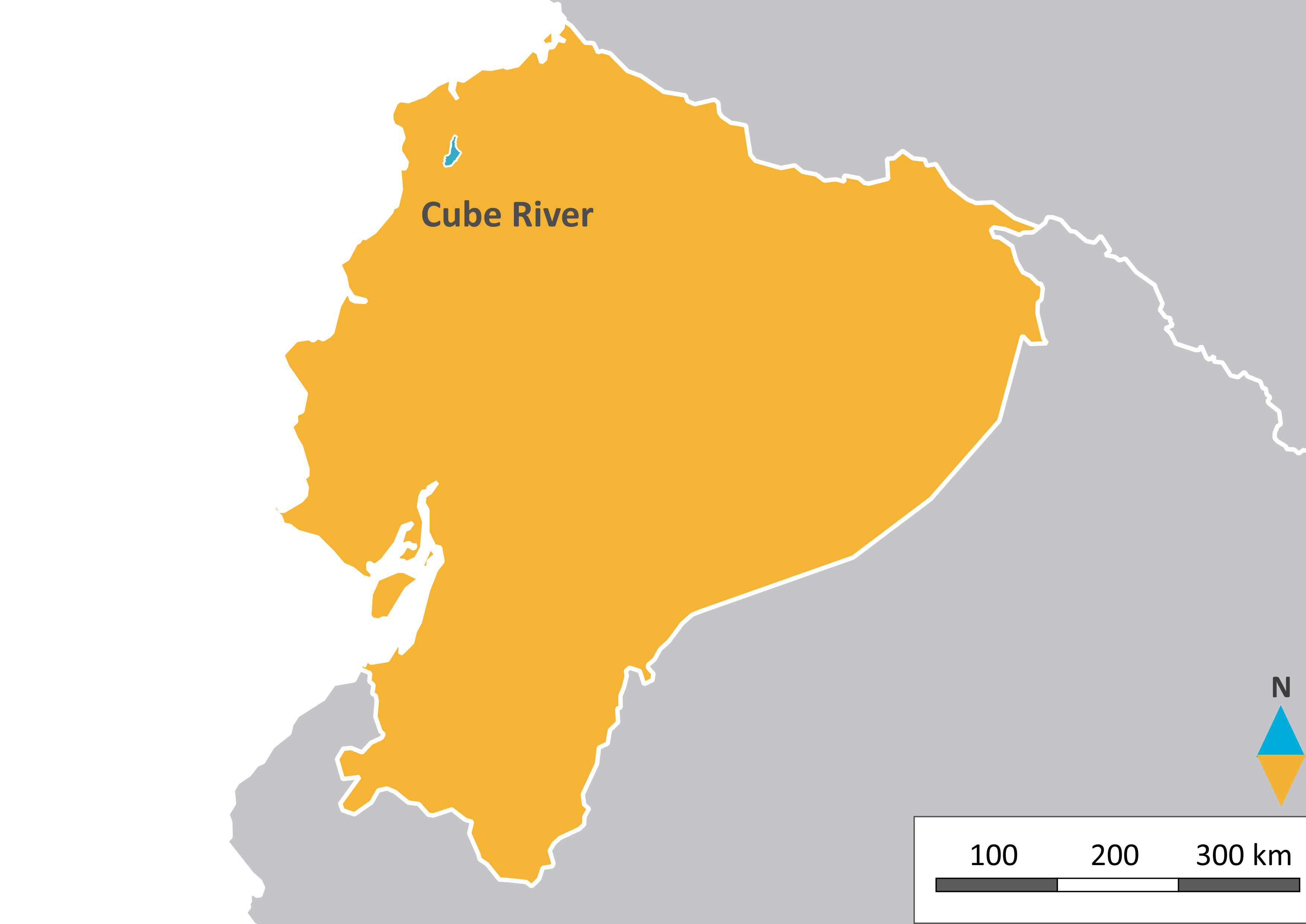
- Cube River
- Sub-catchments of Upper Viche, which is a part of the Esmeraldas basin
- Drainage area approximately 165 km2
- Costal Cordillera region, High altitude tropical climate, Western Ecuador moist forests ecoregion
- The Cube basin is located between the Chocó ecoregion and Western Ecuador moist forest ecoregion. Rivers and streams cross lowland tropical rain forest coming from the Costal Cordillera. This region is of great importance because diversity and endemism of many plant and animal groups is extremely high.
This is a region is very seasonal, with a dry and rainy seasons. During sometimes of the year, headwater streams get completely dry and lowland streams and rivers maintain base labels. During the wet season, rain could be very strong and heavy floods are common. Anthropogenic alterations in the area are mostly related to deforestation and degradation of natural vegetation because of cattle raising and agriculture and there is some pollution specially in lowland rivers. Ecosystem services are mostly human consumption, agricultural use, fishing, tourism, and recreation.
.jpg)
.jpg)